Key Highlights
- Soil type maps are a good way to start with better land management in the UK.
- In England and Wales, you can use Cranfield University tools like Soilscapes and LandIS to explore more about soil.
- Scotland has its own national soil map of Scotland. You can look at the map or download it for your use.
- Online map viewers let you search with a postcode, a place name, grid reference, or coordinates.
- Digital maps use colour and labels, and they show soil properties like drainage, texture, and topsoil.
- Free tools are good for getting an overview. If you want to go into more depth, you can use detailed soil datasets for research.
Introduction
A soil type map helps you know more about land and how to use it. This is useful if you work on a farm, manage a place, or just want better soil information for your UK area. The map shows the main patterns of soil properties, drainage, soil texture, and how land can be used. If you ask, "How do I find out about soil near my postcode or property?" there are now some good online tools for this. You can easily find UK soil information based on the postcode and get the details you need about drainage and other soil properties.
Understanding Soil Type Maps in the United Kingdom
Across the UK, the national soil map helps you see how soils differ in each area. This map is made to give everyone a clear idea about soil information, not only for experts. It shows simple patterns you can look at when studying areas across the UK.
If you want to find a soil type map for your spot in the UK, start with online map tools. These let you search by postcode, place name, grid reference, or coordinates. When you find your area on the map, you can click to see soil information and details about it. The next parts talk about the main map types and what you can see from them.
Types of Soil Maps: From Soil Survey Map to Soil Data Map
A soil survey map often shows soil units that have been mapped using fieldwork and a classification system. In the UK, you can find simpler versions of these maps online. This makes it easy for people to see the broad soil patterns in an area, without having to read through complex details. A soil data map can give you more. It often links shapes on the map, called polygons, to different datasets. These datasets give more facts about soil properties in the UK.
In England and Wales, Soilscapes is built from the more detailed national soil map called NATMAPvector. In Scotland, the national soil map of Scotland lets people see different soil types on the web. When you download the map, it shows a deeper classification with QMUNIT groups and other records.
There is a World Reference Base soil map you can use for Scotland. This map shows how wide classification systems can work with UK and national systems. So, if you want to know if there are bigger maps than just UK resources, the answer is yes in terms of classification. But, the information here mainly covers UK datasets and how they are mapped.
Key Features: Soil Association Map, Soil Acidity Map, and Acidic Soil Map
Different maps show you different things. A soil association map helps you see how soil types are spread out across a place. A soil acidity map, or acidic soil map, shows the chemical conditions in the soil that can change land use and how people work with it. These kinds of maps are good when you want a general understanding of the variations in an area.
For England and Wales, Soilscapes shows the main differences between soil landscapes in each region. It also connects every mapped area to soil descriptions. The soil information on this site covers useful themes about soil properties and how they act in the environment.
- Texture
- Drainage
- Fertility
- Carbon
If you use a UK Soil Observatory or UKSO-style viewer, you will get this type of mapped soil information for fast checks and understanding. The collected data shows that online viewers can link map areas to soil descriptions, habitats, land cover, water safety, and common crops. This helps you see how the soil works in the UK and what it does in each spot.
Finding Soil Type in My Area Using Online Tools
It is easy to find a soil type map for your area when you use online tools. You can open a map viewer and search by postcode, place name, grid reference, or your own set of numbers for a spot. After that, zoom into your area to get all the details you need about the soil type. Some of these tools also let you use your current location if you are on a mobile phone.
When you get to the right spot on the UKSO map viewer, you just need to click on the map shape to see the soil properties. After you do this, the details panel will show the soil type you picked and other info about it. This UKSO method is one of the simplest ways to find out about the soil in your area before you look at more detailed datasets.
How to Access Free Soil Maps for England, Wales, and Scotland
If you want a free map for England and Wales, Soilscapes is a good place to start. It is easy to read and covers both England and Wales well. The map is given by Cranfield University with help from Defra. It shows the main parts of the land on a simple map, but it uses more detailed national information to do this. LandIS also gives you an online soils guide and lets you in to datasets through an open portal.
Scotland uses its own path for this. You can look at the national soil map of Scotland online. You can search the map by postcode or grid reference. You can also download it if you need to use it somewhere else. The national soil map links with the records from the Scottish Soils Knowledge and Information Base. The map was made through survey work done by the Macaulay Institute, which is now called The James Hutton Institute.
Area | Free source | What you get |
|---|---|---|
England and Wales | Soilscapes via Cranfield University and LandIS | Broad regional soil map, soil descriptions, open datasets |
England and Wales | LandIS soils guide | Interactive access to soil categories and properties |
Scotland | National soil map of Scotland | Map view, downloads, web map service, metadata |
Interpreting Digital Soil Maps: Colors, Labels, and Soil Properties
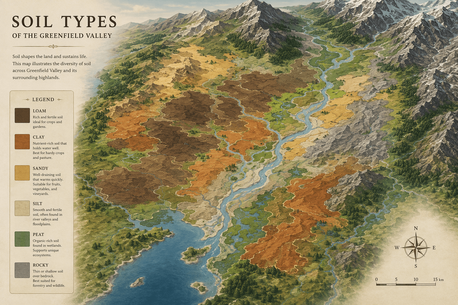
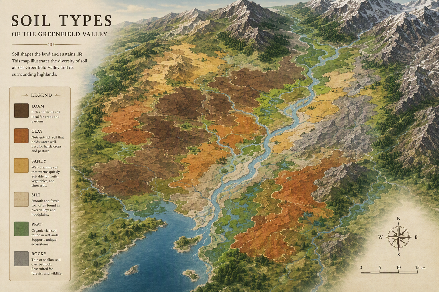
Digital soil maps are much easier to use when you know what the colour and labels mean. On most soil maps, every polygon has a colour that shows a different soil type or soil class. The labels you see online are often a simple group or category, but if you download the file, you can get more details about the soil classification and read full soil descriptions.
When you click on a spot shaped like a polygon on the map, you may see things like soil properties. It will show you facts like drainage, soil texture, fertility, carbon, or what the topsoil is often like. In Scotland, the map legend you see online will show the main kinds of soils. If you look closer or download the files, you can see more records about the soil.
Focus on these points when reading digital soil maps:
- Match the colour on the map to the legend before you make any guesses.
- Read labels as if they are summary categories. These are not full site investigations.
- Check soil properties that are listed, like drainage and texture.
- Remember, the resolution of the map will not get better even if you zoom in.
Conclusion
To sum up, knowing about soil maps and soil type is very important if you want to manage land well or work in farming. These maps help you see what kind of soil is in your area. This can change the way you pick crops and use water. It also helps you take care of your land the right way. There are different types of soil maps, like acidity maps or association maps. These give you helpful info that can make your work better. When you check and use these resources, the things you learn from the data can help your farm do well. If you want to learn more about handling soil the best way, feel free to ask for help or set up a time to talk.
Frequently Asked Questions
Which organizations manage the main UK soil type maps?
For England and Wales, Cranfield University looks after the main resources by using LandIS. Defra gives help for some tools. One important tool is Soilscapes, which gets its information from the national soil map. In Scotland, the main map tools are kept up-to-date through projects with The James Hutton Institute. This group took over from the Macaulay Institute.
How accurate are the national and regional soil survey maps?
These maps are good for seeing the big picture because they use trusted survey datasets and well-known classification methods. But the resolution of the map is important. Soilscapes gives you a simple view, and the national soil map of Scotland was made at a 1:250,000 scale. Because of this, if you zoom in, you will not get more detail. This is true when you need to make choices about a site in Scotland or need the national soil map for something specific.
Can I download UK soil data maps for research or land management projects?
Yes. In the UK, the Land Information System (LandIS) lets people see some soil data maps for England and Wales. There is open access to these resources. Scotland also lets people download its national soil map. These maps help those who do research or land managers. You may also get more detailed soil datasets from other services.